Seaweed detection from satellite imagery
Detecting algae blooms at sea from satellite images, during an internship at Geo4i.
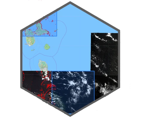
During my first-year internship at Geo4i (geospatial for intelligence) in 2019, I built a program that detects and localizes seaweed at sea from Sentinel satellite imagery.
I joined the R&D team as a developer with little JavaScript experience and, after a first week of watching the lead developer, ended up writing the complete program using JavaScript, Bash, Turf, GDAL, and QGIS for visualization, following formulas provided by the company’s lead image analyst. I was proud to see my detection program integrated into their official software by the end of the internship.
Links
- Geo4ihttps://www.geo4i.com/